NEW YORK (AP) — How can you check the air quality in your area and what do the numbers mean?
Join our WhatsApp groupSubscribe to our Daily Roundup Email
The Environmental Protection Agency monitors the air around the country and compiles an air quality index, or AQI.
Here’s what to know about the index and how to keep tabs on your area, especially in U.S. regions dealing with smoke from Canadian wildfires.
WHAT DOES THE AIR QUALITY INDEX MEASURE?
The index rates how clean or polluted the air is each day. The EPA uses this measure to keep tabs on five kinds of air pollutants. The main concern from the wildfire smoke is fine particle pollution, or PM2.5. These particles are tiny enough to get deep into the lungs. They can cause short-term problems like coughing and itchy eyes, and in the long run, can affect the lungs and heart.
WHAT DO THE NUMBERS AND COLORS MEAN?
The index runs from zero to 500. The higher the number, the worse the air quality. That range is broken down into six color-coded categories. Green or yellow — in the zero to 100 range — the air is pretty clear. Once it gets up to orange, the air quality could be a concern for sensitive groups like kids, older adults or those with health conditions.
In the red and purple zones, the air quality is considered unhealthy for everyone. And once it gets to maroon — at 301 or above — pollution levels are hazardous.
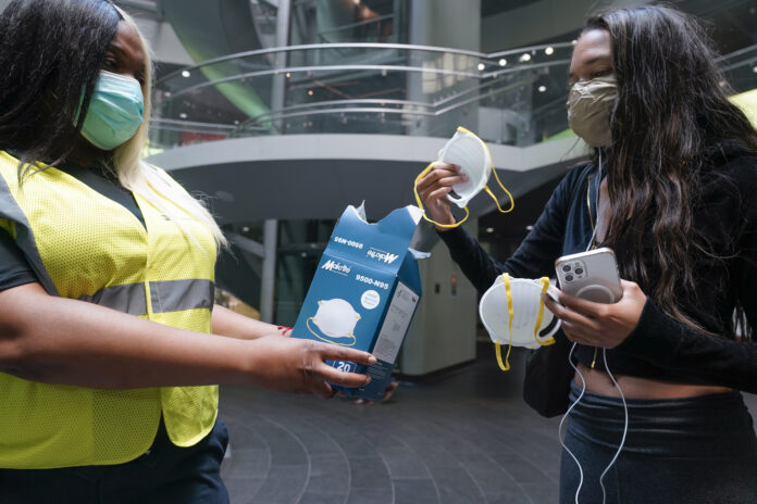
At these high levels, take precautions to avoid breathing in the dangerous air. That can mean reducing your outdoor activities, running air purifiers inside and wearing a well-fitting mask like an N95 when you’re outside.
“If you have to exert yourself, exert yourself less. Hydrate more,” said Dr. Leonardo Trasande, who studies environmental health at New York University.
WHAT’S THE AIR LIKE IN MY AREA?
Check AirNow.gov, which updates every hour. The site shows a real-time map of the air quality across the country and also includes a forecast for the day ahead. The map pulls in measurements from a network of air monitoring stations across the country. States and cities may also offer more local guidance.

Typical minority taker, eating too many donuts.
Please change the photo. It has nothing with the storynand us not appropriate
Pls be more conscientious of pic you choose for your news stories. The woman on the left has a shirt on that probably belonged to a younger sibling and doesn’t seem to fit.